Horseback Riding in Connecticut’s Sprague Land Preserve
Denise Ethier Dembinksi describes trails in Connecticut’s Sprague Land Preserve and along the bordering Shetucket River as part of Equitrekking’s 50 State Trail Riding Project.
by Denise Ethier Dembinski
Located just off of Rt. 207, on Holton Road in Franklin, Connecticut, the Sprague Land Preserve is just about 6.5 miles from Rt. 395 and is one of the largest preserves in southeastern Connecticut. The preserve is bordered by the Shetucket River and comprises approximately 510 acres of meadows, farmland, forest habitats, waterfalls, and most importantly, a wide variety of trails for horseback riding.
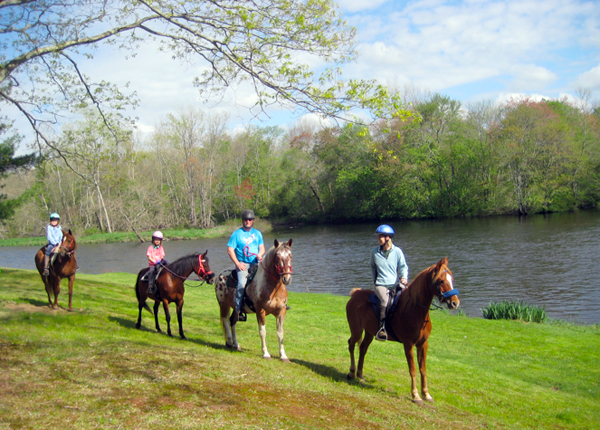
Riding with friends on the banks of the Shetucket River
Although there are many riding areas within Connecticut, none have the diversity and trail types for all levels of riders. Currently, there are approximately 27 miles of trails and each year 2-3 additional trails are added. Because of the uniqueness of the property, The Friends of the Shetucket River Valley (FoSRV), New England Arabian Trail Organization (NEATO), New England Horse and Trail (NEHT), and the West Greenwich Horseman’s Association (WGHA) regularly host trail rides and Hunter Paces at the preserve.
The Mukluk Property
This area of the preserve, formerly known as the Mukluk Sportsman’s Club, was granted open space status in 2008 when the town of Sprague received a state land acquisition grant and accepted the conservation easement. This forested area within the Shetucket River Valley provided a prime opportunity for the preservation of key habitats for flora and fauna and the enjoyment of the public.
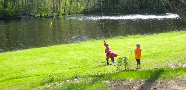
Children enjoying a rope swing in early spring
After mounting your horses at the cabin, head west to the intersection and take a right in a northeasterly direction to the Scotland Dam. Along this meandering dirt road you’ll pass the foundations of a former homestead and tavern still visible today depending on the season. This trail is a favorite of the “easy riders” as it is a gentle flat loop of about 7.5 miles. Picnic tables and a fire pit are located in a peaceful area under the pines and next to the Shetucket River. This is a great area to rest, have lunch, and perhaps catch a glimpse of the Blue Heron that live along the river.
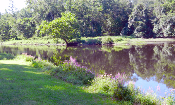
A peaceful summer afternoon by the Shetucket River
Depending on the amount of rainfall, single-track trails offer a view of the waterfalls and are more suited to “rough riders.” On the Nippy’s Culvert trail you will pass the home of Mike DuBois, the resident beaver, and view his dams and evidence of tree gnawing.
The Watson Farm
Most recently the state of Connecticut entered into an agreement to preserve the Watson Farm, a 230-acre estate of agricultural fields, streams, and wooded areas that abut the Mukluk property and the Shetucket River. Tucked into the corner of the cornfield is a trail leading to one of the waterfalls known as the Upper Falls and the area below known as the Honey Pot. Although usually dry in the summer, the 30 foot falls are a sight to behold when flowing.
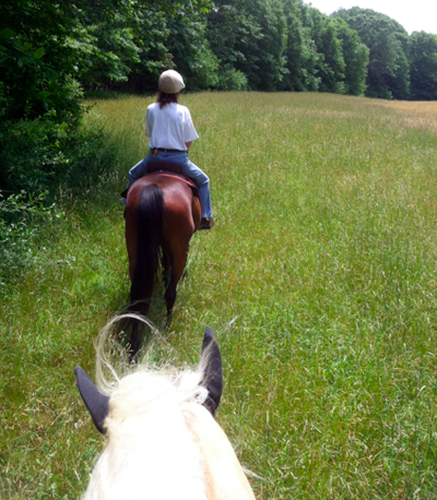
Single file along the edge of a meadow
Preserving Riding Trails in the Sprague Land Preserve
In addition to the Watson Farm, there are ongoing initiatives by municipalities and conservation organizations along with state grant assistance to expand the Sprague Land Preserve by another 111 acres. Mountaintop trails on this portion of the preserve offer stunning views of rolling fields, brooks, and a variety of wildlife. Most notably is a trail of Mountain Laurel that is most beautiful in the spring. For more information on projects visit the Friends of the Shetucket River Valley.
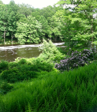
A fast flowing river; fresh ferns; and beautiful Mountain Laurel
The Shetucket River
The Shetucket River is 20.4 miles long and is a main artery of the Thames River. The Shetucket is famous for its beauty, sparkling water, quality salmon and trout fishing, kayaking, and its forested banks. River views abound on the northeastern side of the preserve. Horses love a cool drink and enjoy splashing themselves, their riders, and others on a hot summer afternoon.
.jpg)
A peaceful ride with friends
In addition to horseback riding, the Sprague Land Preserve also welcomes anyone interested in walking, running, hiking, mountain biking, fishing, bird watching, and cross country skiing. Rough camping is available in front of the cabin with permission available from the Selectman’s Office. Interested parties should call the Selectman’s Office in the Sprague Town Hall at 860-822-3000 at extension 202.
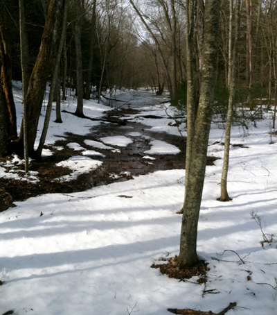
The trails are especially beautiful in late winter
Directions: Take I-395 to Exit 82 in Yantic. Follow Route 32N approximately 3.61 miles to the intersection of Route 207. Turn right onto Route 207 and travel approximately 2.91 miles to Holton Road. Turn left onto Holton Road (across from cemetery). Proceed for approximately 1 mile to the entrance of the Sprague Land Preserve located on the right. Drive 0.7 miles down the dirt road and park at the cabin on the right.
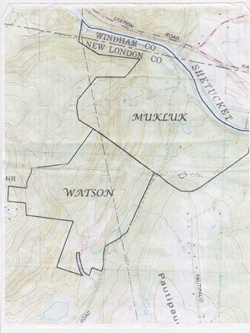
Map of the Sprague Land Preserve
Abundant parking is available at the preserve by the cabin. Additional parking is available in the field on the left just past the entrance to the Preserve off Holton Road.
About the Author: Denise Ethier Dembinski is a Board Member of the Friends of the Shetucket River Valley and resident of Sprague, CT.
